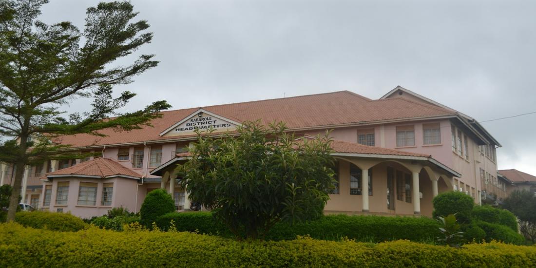
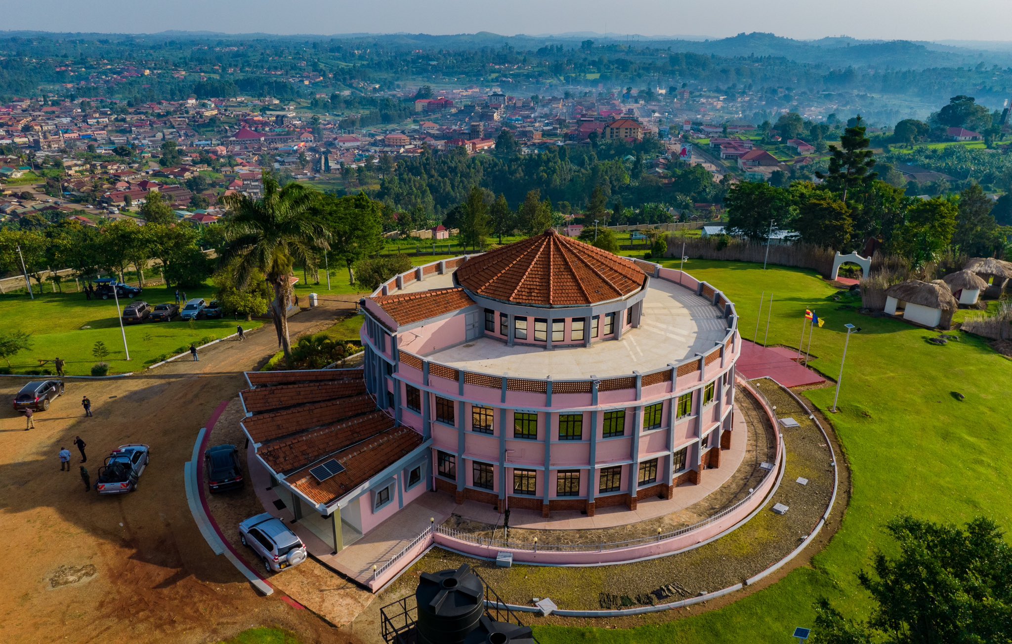
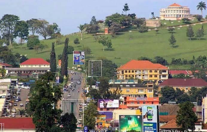
Welcome to Kabarole District
Empowering communities, delivering services,
and promoting sustainable development across Fort Portal and beyond.
Inclusive Governance
Transparency, accountability, and citizen participation
at the heart of local development.
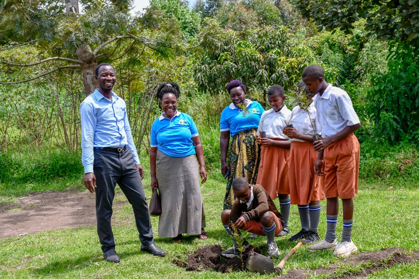
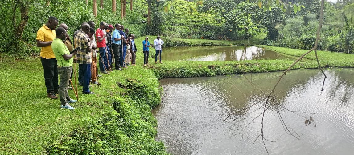
Sustainable Development
Driving growth through agroforestry, climate-smart
innovations, and youth empowerment programs.

Newly Constructed Nyabweya Seed School
Newly Constructed Nyabweya Seed School
School programs.
Notice Board
Kabarole Chairman Advocates for Agro-Industrialization
18 Dec 2025
Kabarole Chairman Advocates for Agro-Industrialization By Stephen Ainganiza –Communication Officer Kabarole Kabarole District Chairperson Dr. Richard Rwabuhinga has urged the...
Read MoreEmpowering Youth and Transforming Lives: The Buzz of Beekeeping in Kabarole
18 Dec 2025
Empowering Youth and Transforming Lives: The Buzz of Beekeeping in Kabarole By Ainganiza Stephen – Communication Officer, Kabarole In the...
Read MoreOur Featured Services
Health Services
Access quality healthcare through our network of hospitals and clinics, ensuring community well-being.
Learn MoreEducation Programs
Empowering the youth with quality education and vocational training for a brighter future.
Learn MoreEnvironmental Conservation
Promoting sustainable practices and agroforestry to protect our environment for future generations.
Learn MoreQuick Information
Constituencies
Learn MoreDownloads
Explore ResourcesServices
View ServicesBids & Tenders
Browse TendersBusiness Information
Get SupportDistrict Profile
Discover MoreLatest News
Residents Demand Action on Neglect of Children with Disabilities
July 30, 2025
Concerned residents in Karagura and Mugusu sub-counties have raised the...

Kabarole District Suspends School Visitations Over Ebola Fears
July 30, 2025
The Joint Ebola Taskforce for Fort Portal and Kabarole District...
District Highlights
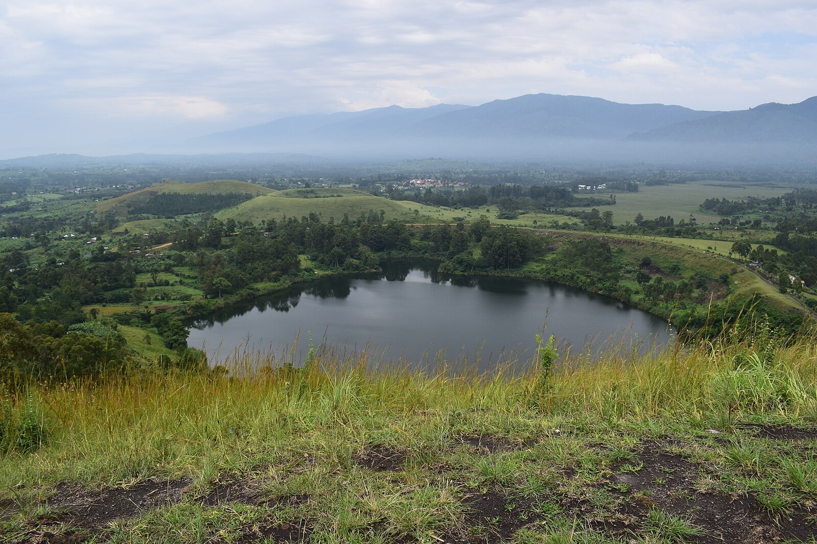
TOURISM & ATTRACTIONS
Explore Nature
Discover Kabarole’s breathtaking crater lakes, for tourism.
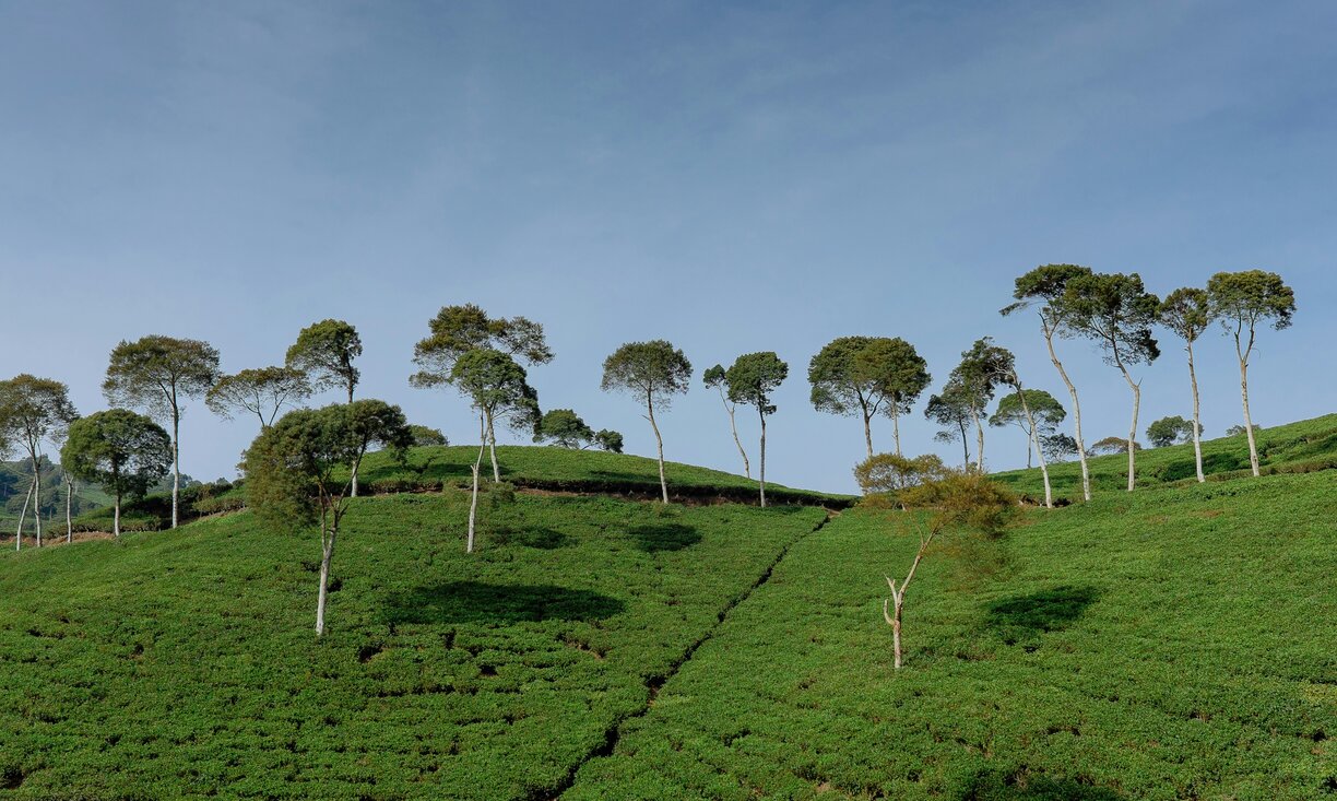
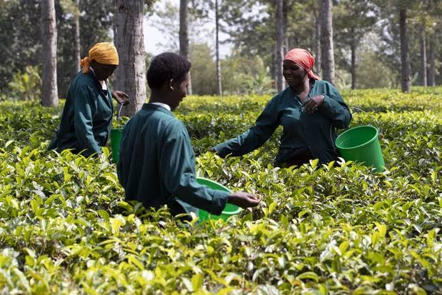
AGRICULTURE GROWTH
Agricultural Growth
Visit farms, meet local farmers, and enjoy the flavors of Kabarole’s agricultural heritage.
PEOPLE & CULTURE
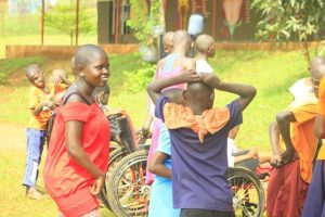
Celebrating Identity
Experience the vibrant traditions and heritage of the Batooro and Kabarole’s diverse communities.
THINGS TO DO
Get Involved
Support Kabarole’s development through local initiatives .
District Leadership & Facts
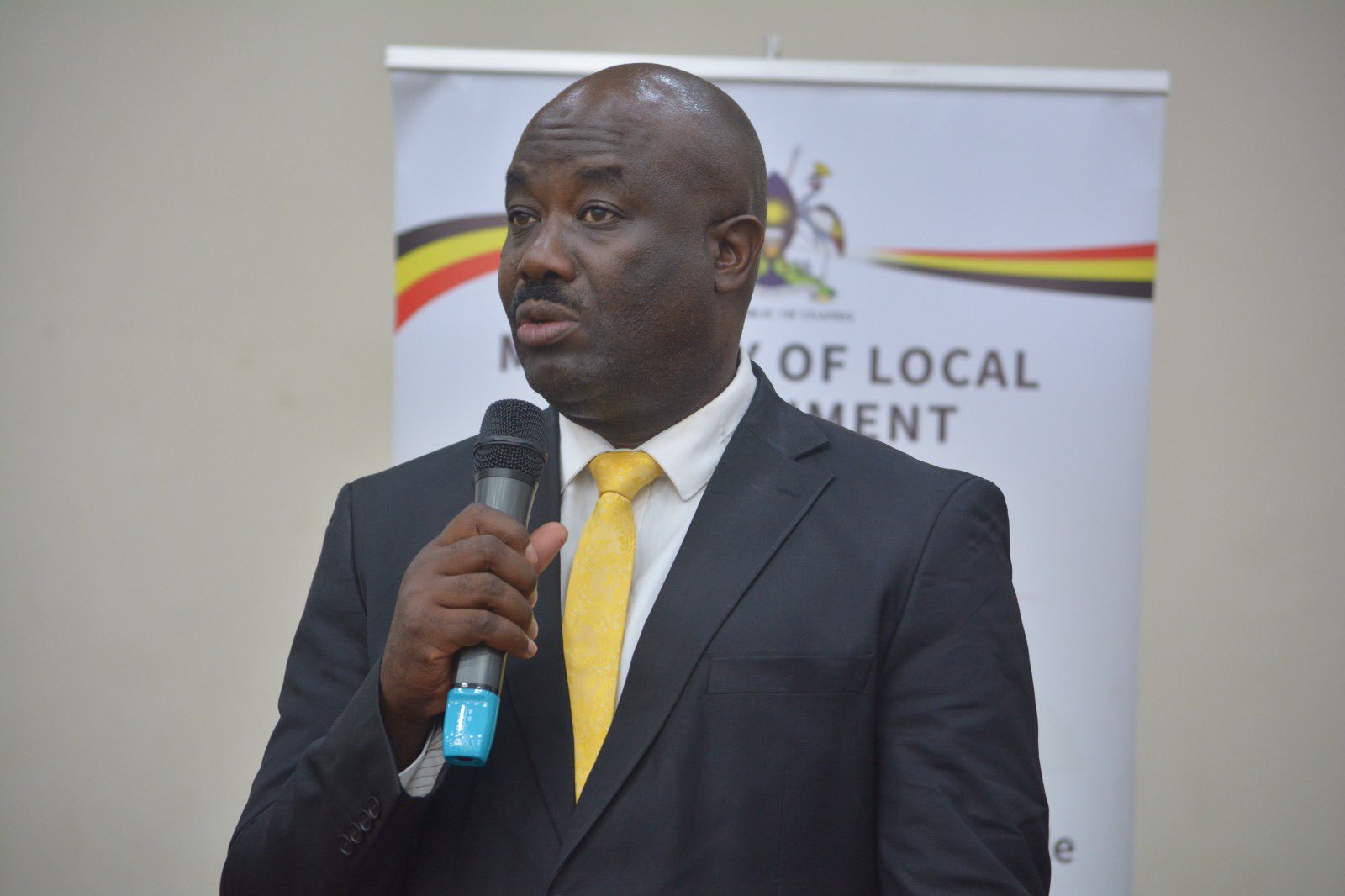
Hon. Richard Rwabuhinga
District Chairperson
Leading Kabarole with a vision for sustainable development and community empowerment.
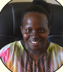
Hon . Stella Kyorampe
Vice Chairperson
Overseeing administrative operations to ensure efficient service delivery.
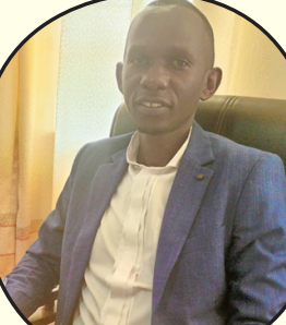
Hon. Ruhweza Timothy
District Speaker
Supporting inclusive governance and community-focused initiatives.
-
Location: Western Uganda, centered around Fort Portal City.
-
Population: Approximately 350,000 residents (2024 estimate).
-
Area: Covers 1,814 km², including forests and crater lakes.
-
Economy: Driven by agriculture (tea, coffee), tourism, and trade.
-
Sub-Counties: 12 sub-counties and 3 town councils.